
Niagara County ZIP Code Coverage
USPS is the first source for an address-to-ZIP result, a city-and-state search, or associated city names for a ZIP. The working set below comes from Niagara County research and must be validated in USPS before it is treated as delivery information. The area and post-office wording is a postal label, not a promise of one municipal boundary, a delivery type, or a county edge. Exact address validation is necessary where routes cross local lines.
| ZIP | Areas Covered | Post Office | Notes |
|---|---|---|---|
| 14008, 14012, 14028, 14067 | Appleton, Barker, Burt, Gasport labels | Working postal labels: Appleton, Barker, Burt, Gasport | Verify the exact Niagara County edge by address. |
| 14092, 14094, 14095 | Lewiston and Lockport labels | Working postal labels: Lewiston and Lockport | 14094 reaches beyond the city label in some routes; 14095 is a PO Box entry. |
| 14105, 14107, 14108, 14109 | Middleport, Model City, Newfane, Niagara University labels | Working postal labels for the listed communities | Mix of community, PO Box, and institutional labels; confirm delivery type. |
| 14120, 14126, 14131, 14132, 14144 | North Tonawanda, Olcott, Ransomville, Sanborn, Stella Niagara labels | Working postal labels for the listed communities | Postal labels and municipal lines can differ. |
| 14172, 14174 | Wilson and Youngstown labels | Working postal labels: Wilson and Youngstown | Village, community, and surrounding-town routes need address verification. |
| 14301, 14302, 14303, 14304, 14305 | Niagara Falls label | Working postal label: Niagara Falls | 14302 is a PO Box or community entry; routes can reach Town of Niagara or Wheatfield areas. |
The Niagara County city, town, and village list supplies the separate municipal reference. Compare that legal place name with the USPS result instead of substituting one for the other.
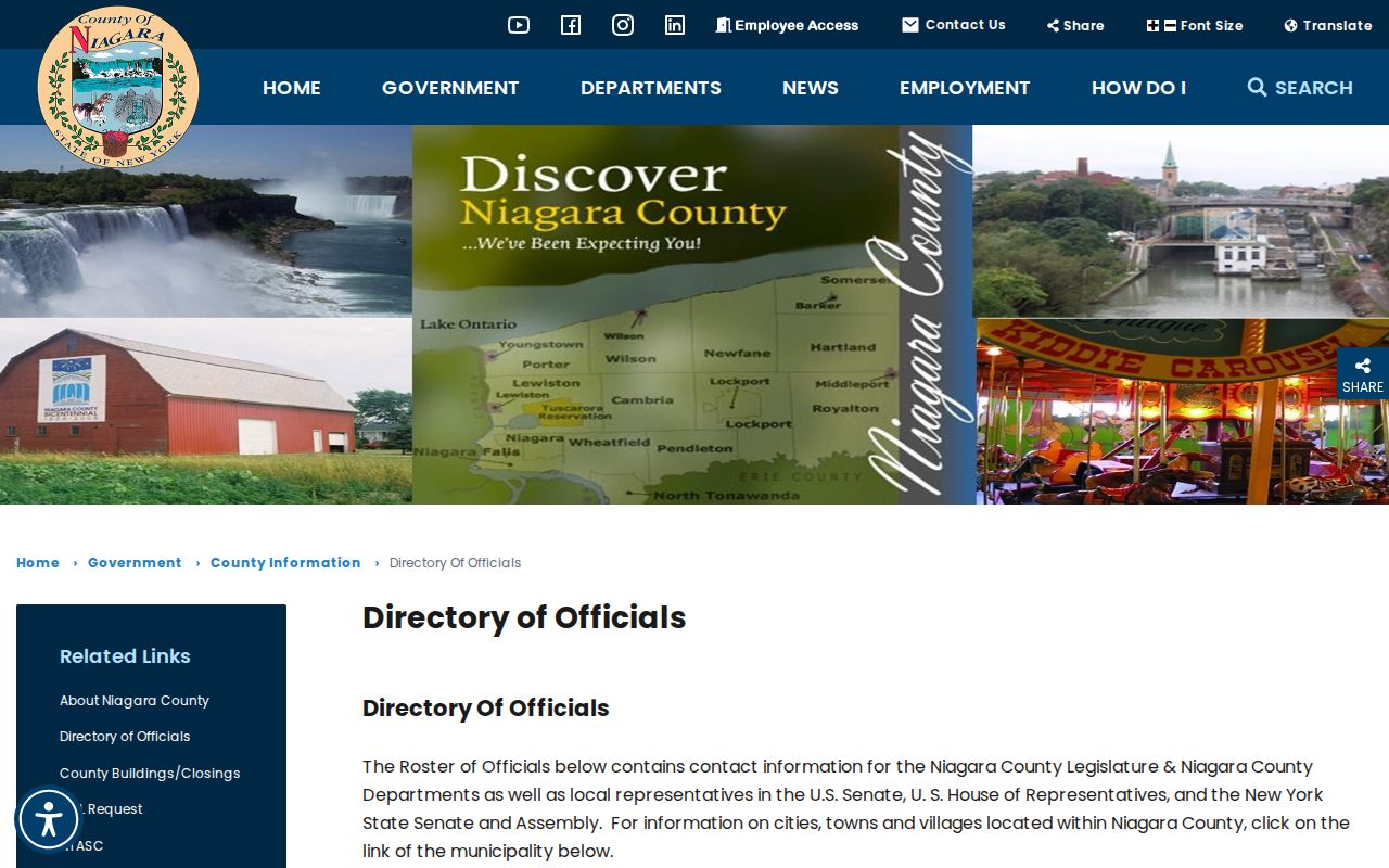
A county municipality list provides jurisdiction context, while a USPS ZIP result answers a mail-routing question. Both are needed when the two labels differ.
Niagara County ZIP Postal Groups
The research list contains standard-looking community labels alongside PO Box, community, and institutional entries. That is why a broad city-to-ZIP list is not enough for a person, parcel, or historic-address question. In the working set, 14095 is identified as a Lockport PO Box entry and 14302 as a Niagara Falls PO Box or community entry. Model City, Niagara University, and Olcott also require a delivery-type check before their postal meaning is described more narrowly.
USPS may return more than one associated city name for a ZIP. A city or town search can also include PO Box, unique, or nearby-area entries. Keep the exact result together with the full street and unit used for the query. The Niagara County ZIP code directory is useful for organizing an address, not for inferring who receives mail there.
Niagara County ZIP Delivery Types
PostalPro’s City State Product is the follow-up source for ZIP-city-county relationships, post-office names, and delivery categories. Its taxonomy includes street, rural, PO Box, general delivery, unique, and military. Those categories describe mailing service. They should not be guessed from a community name or assigned to every ZIP in a group without checking the current PostalPro output.
The USPS PostalPro City State Product is updated monthly, which matters when a mailing label or delivery classification changes. Use it after the address lookup when the delivery type or associated city list is material to the research question.
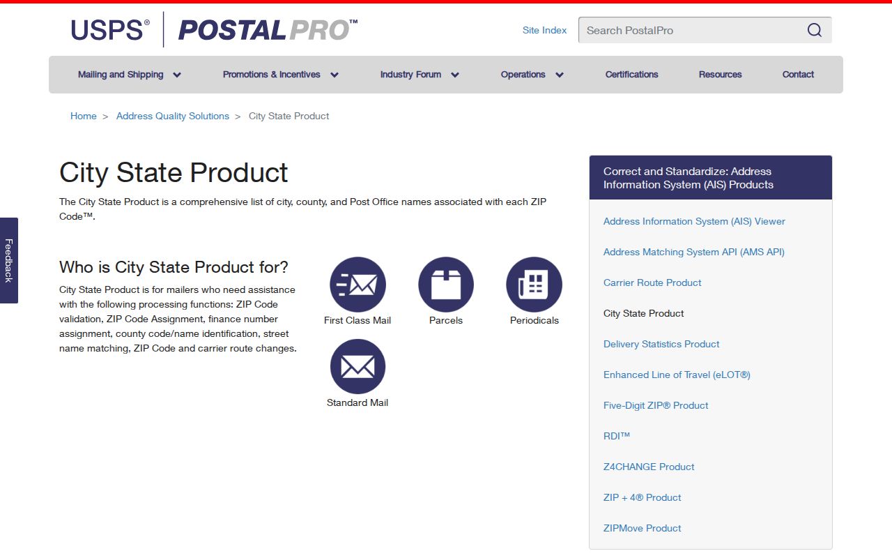
PostalPro can clarify the postal record behind a result, but it does not convert a ZIP code into a town, village, city limit, or neighborhood boundary.
Narrowing a Niagara County ZIP Search
For an address-based question, use a two-step path. First validate the address with USPS. Then move to the county’s map and parcel systems using the municipality, street, address, or parcel key. The inspected PROS quick and advanced forms did not expose a ZIP filter. A ZIP-wide PROS result therefore cannot be promised, and a ZIP alone is not a substitute for the address keys those systems use.
- Enter the exact street address and unit in the USPS By Address form, then retain the returned ZIP and associated mailing information.
- Identify the city, town, or village for the parcel or record custodian rather than relying only on the postal label.
- Search Niagara County PROS-GAR or the county GIS viewer with the municipality, street, address, or SBL once the parcel is known.
- Use the resulting parcel details, map geometry, or custodian route for the next record request, while keeping the USPS result as delivery evidence.
Once the ZIP has narrowed the area to a specific address, the Niagara County street directory provides the fuller street and parcel workflow. That work uses address, municipality, and parcel fields, not a general ZIP filter.
USPS Fields for Niagara County ZIPs
The USPS lookup has distinct routes. By Address supports a precise deliverability check. By City and State returns ZIP associations from the locality text supplied. Cities by ZIP begins with the ZIP itself and can return associated city names. Each result answers a different question, so record which route produced it and avoid treating a city-name list as proof of the delivery route for a specific address.
| USPS field or route | Observed input | What it returns | Follow-up data |
|---|---|---|---|
| By Address | Company optional; Street Address; Apt/Suite/Other; City; State; ZIP optional | A ZIP result for the supplied deliverable address | Keep street and unit, then identify the municipality and parcel key. |
| By City and State | City and State | ZIP associations from that locality text | Use the exact address before relying on a result for a parcel. |
| Cities by ZIP | ZIP | Associated city names | Check PostalPro for delivery context and the county municipality list for jurisdiction. |
The USPS ZIP Lookup warns by its design that a complete address may need an apartment or other unit detail. Multiple matches require a more complete address, not an assumption about the intended property.
Niagara County ZIP Parcel Follow-Up
After USPS validation, Niagara County Real Property and the GIS viewer provide the practical parcel layer. PROS can search by address, SBL or tax map, owner, public street, and municipality. The result grid supplies parcel-related data such as address, owners, SBL, sale date and price, lot size, property type, style, zoning, year built, square footage, and bedrooms or baths. These are parcel and assessment fields, not a verified household roster.
The parcel card can add mailing address, prior owner, deed book and page, sale history, land and improvements, assessment values, and map or image controls. Copy the SBL and SWIS before a deed or map request. The observed SBL format can look like 160.16-1-63, combined with a SWIS code. It is a steadier key for a parcel chain than a ZIP code, which only routes mail.
| Situs | The physical parcel location used by assessment, GIS, and parcel records. |
|---|---|
| Mailing address | The correspondence address for an owner or record recipient. It can use a different city, ZIP, or state than the parcel. |
| SBL | The tax-map parcel identifier used with the SWIS code in county property work. |
| Legal description | The deed’s land description, which can connect an address to a parcel, lot, block, or metes-and-bounds record. |
Niagara County ZIP Boundary Limits
Postal labels do not perfectly track municipality. Lockport-area ZIPs can serve adjacent towns. North Tonawanda mailing routes can reach Wheatfield or Pendleton, and Niagara Falls ZIPs can cover parts of the Town of Niagara or Wheatfield. Sanborn, Middleport, Lewiston, and Stella Niagara labels also need address-level confirmation. ZIP Code Tabulation Areas are Census approximations, not legal boundaries.
- ZIP+4
- An added four digits used with a five-digit ZIP for finer mail sorting. It is not a parcel or municipal identifier.
- PO Box ZIP
- A ZIP associated with post-office-box service. It should not be assumed to identify a street-delivery area.
- Unique ZIP
- A delivery category PostalPro can identify for a specific use or recipient arrangement. Confirm it in current postal data before describing one.
- Carrier route
- A mail-sorting route within postal operations. It is not a legal boundary or a record-custodian jurisdiction.
Niagara County ZIP Address Keys
Different custodians organize the same place differently. USPS keys on deliverability. PROS uses parcel, SBL, and address fields. GIS uses geometry and layers. A deed uses a legal description and recording identifiers. Printed directories use the name and address printed at the time. A voter service uses the supplied registration identity and address. Matching the question to the custodian’s key avoids an apparent contradiction that is really a difference in record design.
Municipal offices remain the likely authority for local street names, building addresses, permits, and emergency-address questions, while county GIS and Real Property are the practical map and parcel sources in this research. No official countywide readdressing or renaming list was located. Verify a specific street-renaming, annexation, or E911-address history with the applicable municipality before treating it as a fact.
Verify Niagara County ZIPs Before Use
Do not accept 14032, 14041, or 14098 merely because a broad internet list associates them with the region. The research specifically calls for USPS and PostalPro verification of county and delivery type. Record the observation date, the search route, the complete address or city text used, the exact returned label, and the next parcel or municipal source consulted. That small evidence trail makes a later correction possible if postal data changes.
For a historical address, retain the directory year and printed place label as well as the current USPS result. For a parcel, preserve the municipality, SBL, SWIS, and map date. For a public record request, ask the office for an existing record under New York FOIL rather than asking it to create a ZIP-wide resident list. Each route has a different scope, and the difference is part of an accurate answer.